Portfolio (currently under construction)
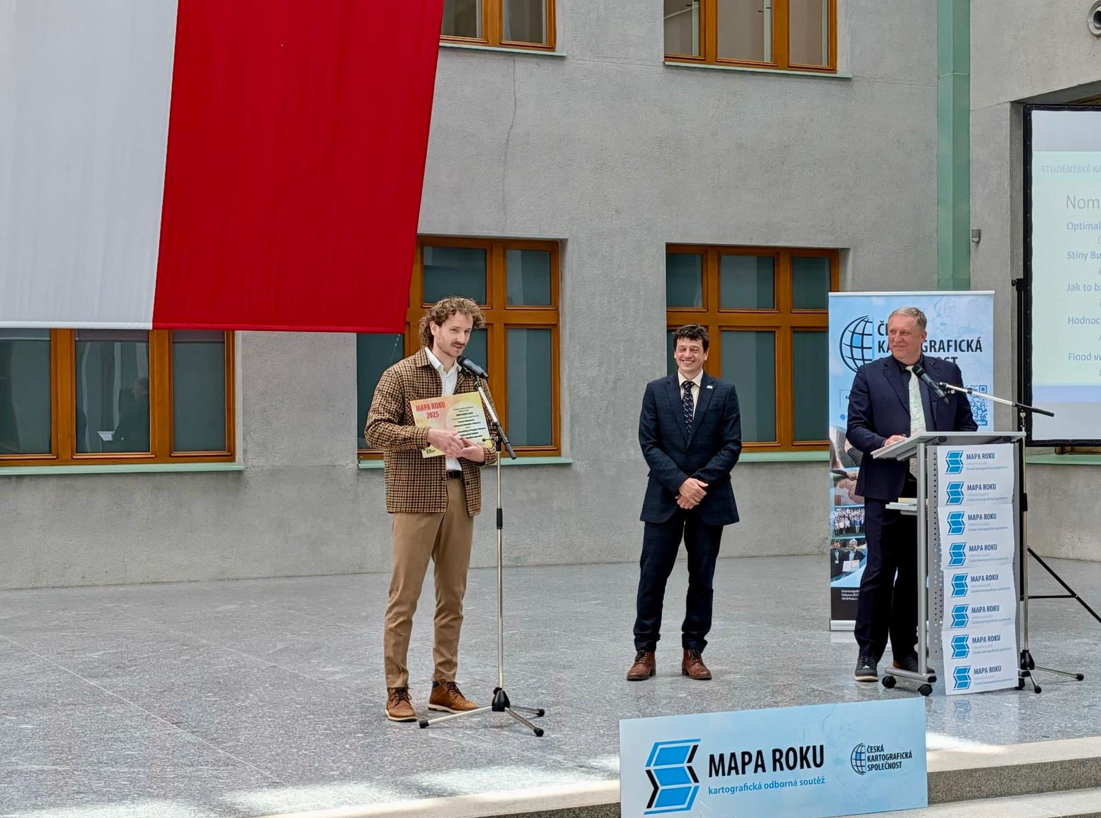
Mapa Roku 2025
The Mapa Roku (Map of the Year Award) is a renowned cartographic competition in the Czech Republic, organized annually by the Czech Cartographic Society. The...
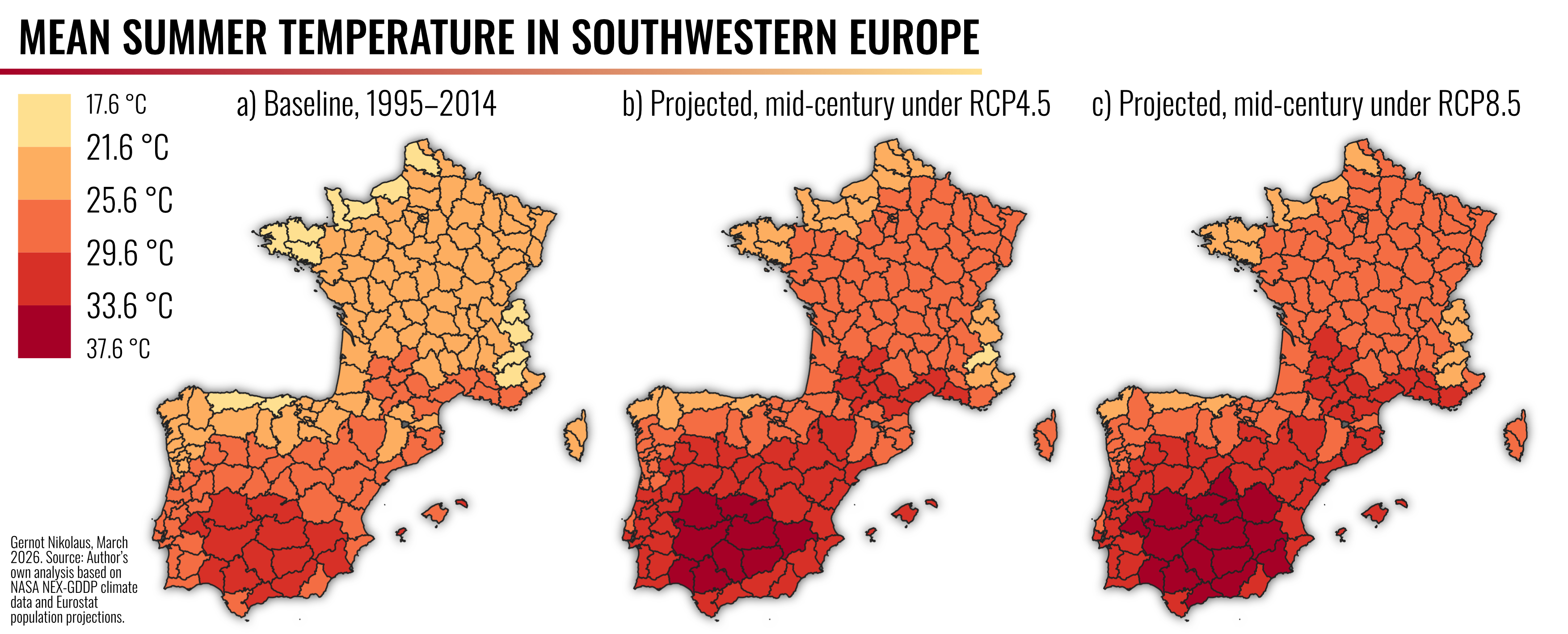
Projected heat exposure for elderly populations in Southwestern Europe under future climate scenarios
August 2025 was the third-warmest August on record globally, and Heatwaves are becoming increasingly frequent and intense in Southwestern Europe [1]. Using NASA/NEX-GDDP climate models...
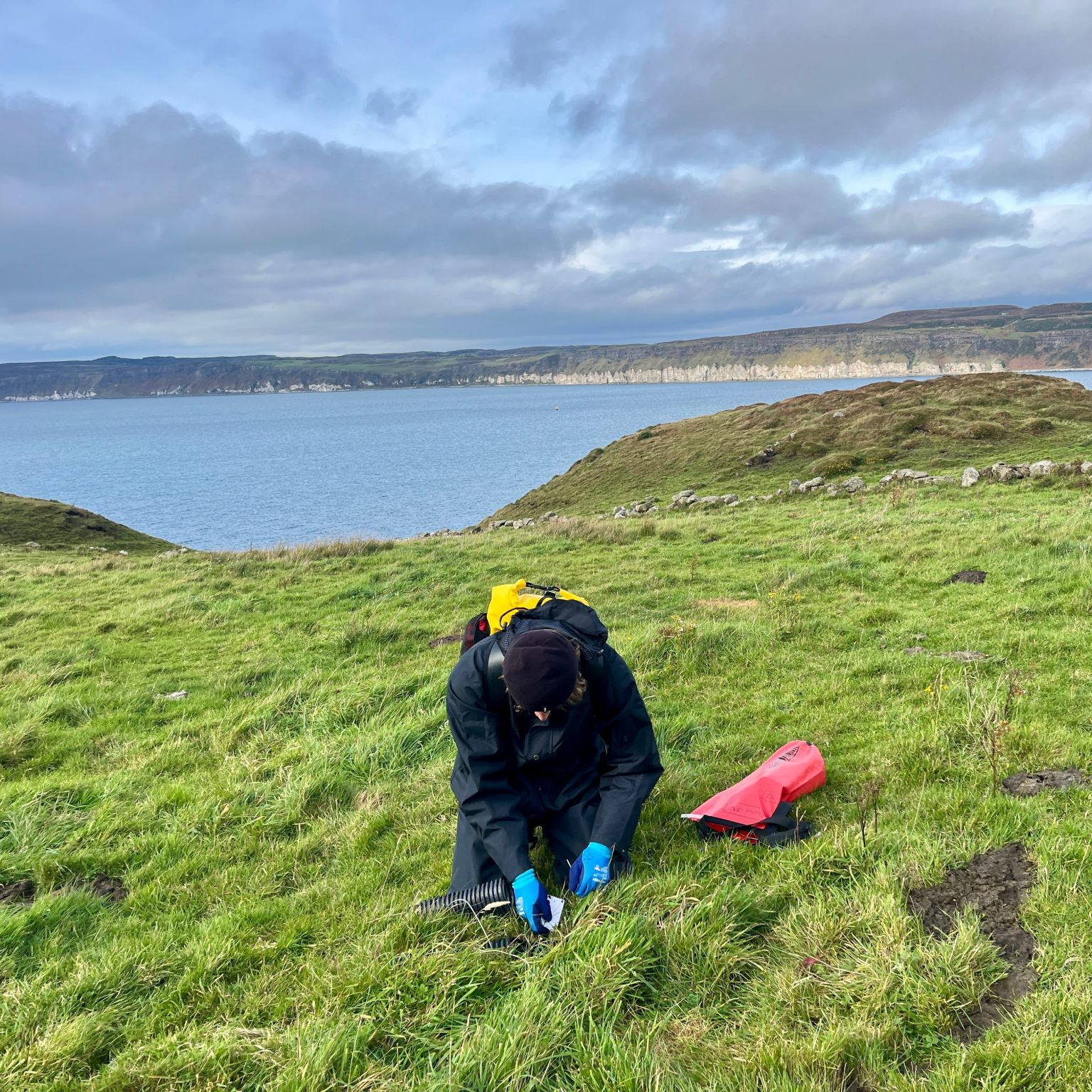
Residential Fieldworker Volunteer - LIFE Raft Seabird Conservation Project
In September and October, I had the amazing opportunity to work with the RSPB and live on Rathlin Island (Northern Ireland) as part of the...
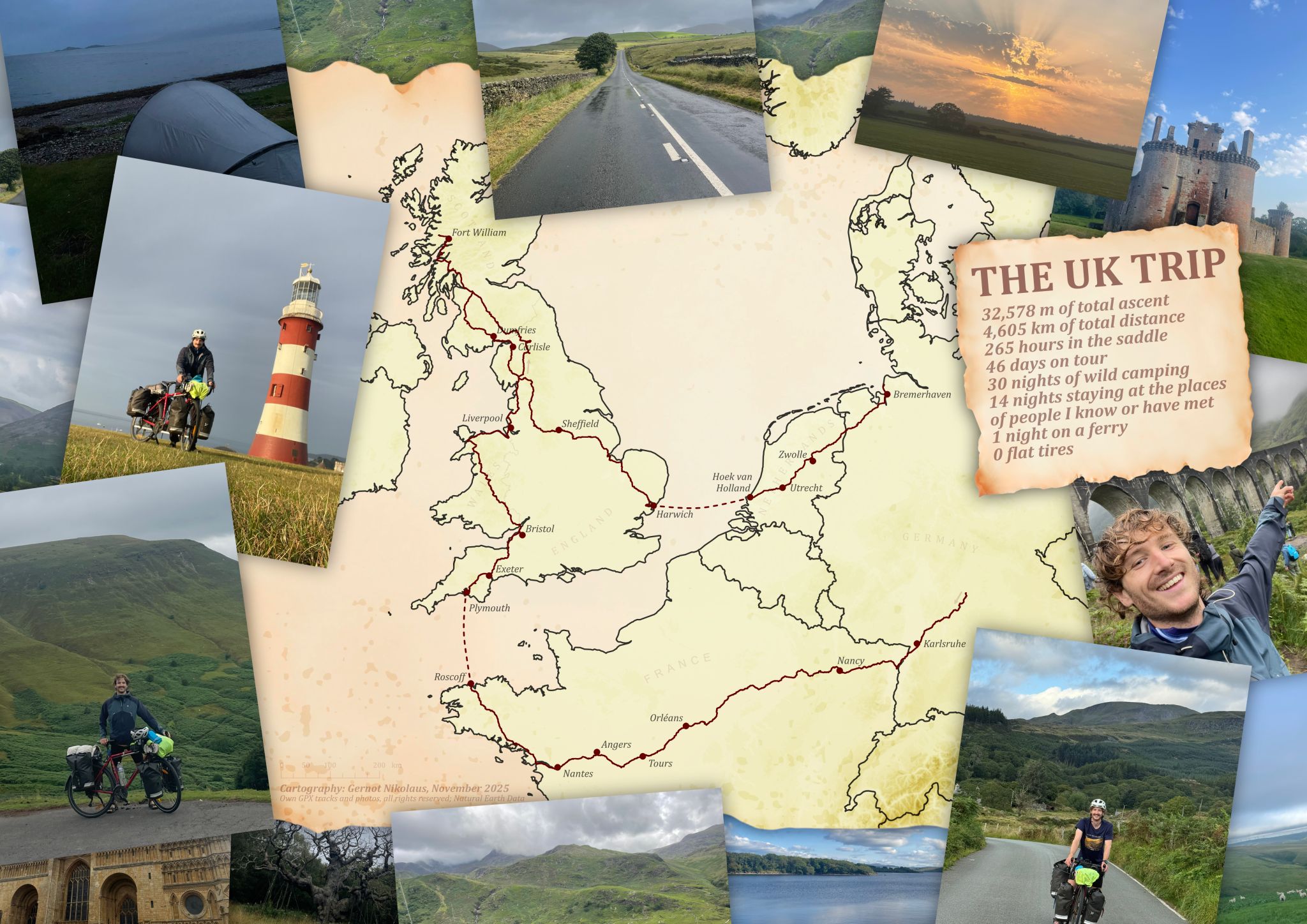
From Germany across the UK and back
In July and August, I went on a long-distance solo cycling adventure through much of the UK, starting and finishing in Germany. The journey took...
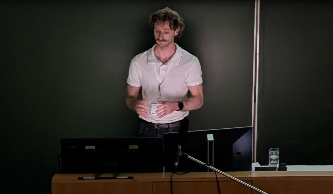
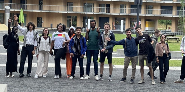
AGIT Conference 2025
In July 2025, I had the opportunity to present part of my master’s thesis at the AGIT Conference 2025 in Salzburg! The short paper, titled...
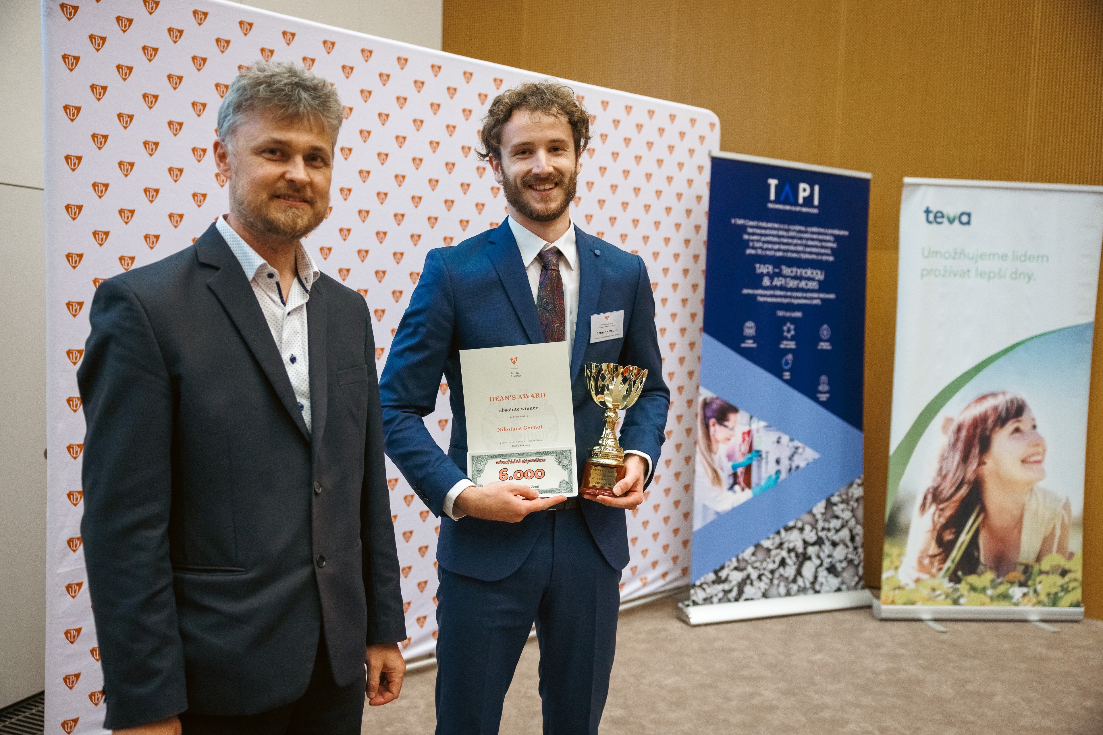
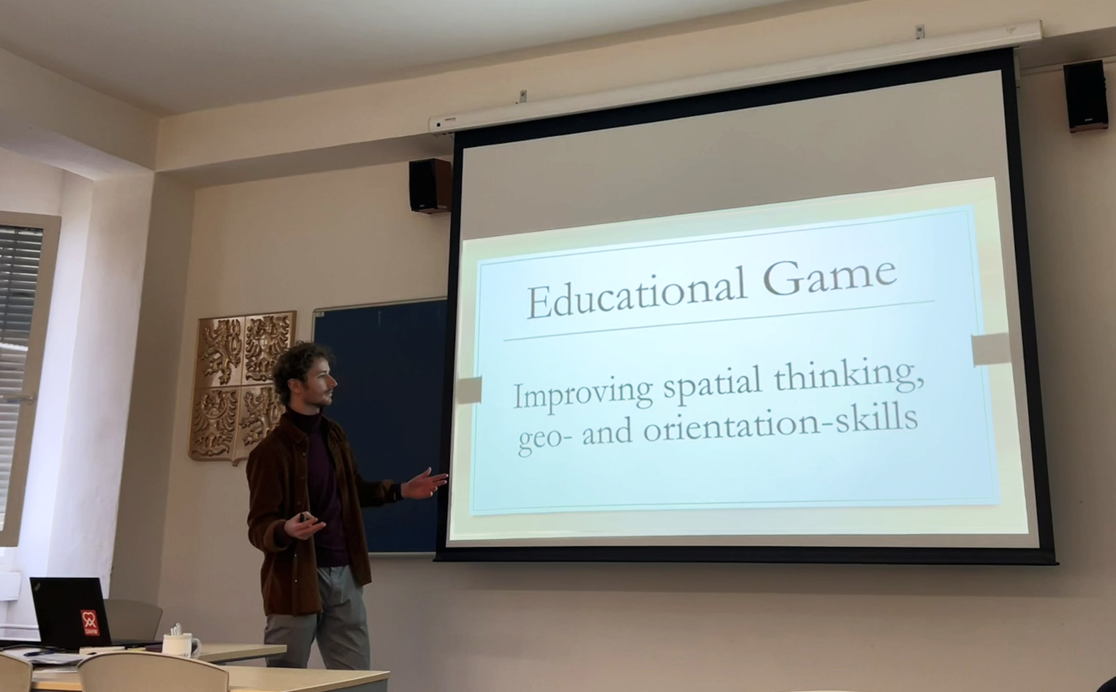
Dean’s Award by the Faculty of Science at Palacký University in Olomouc
The Dean’s Award Competition is a traditional annual event at the Faculty of Science, where students present the results of their scientific work across several...
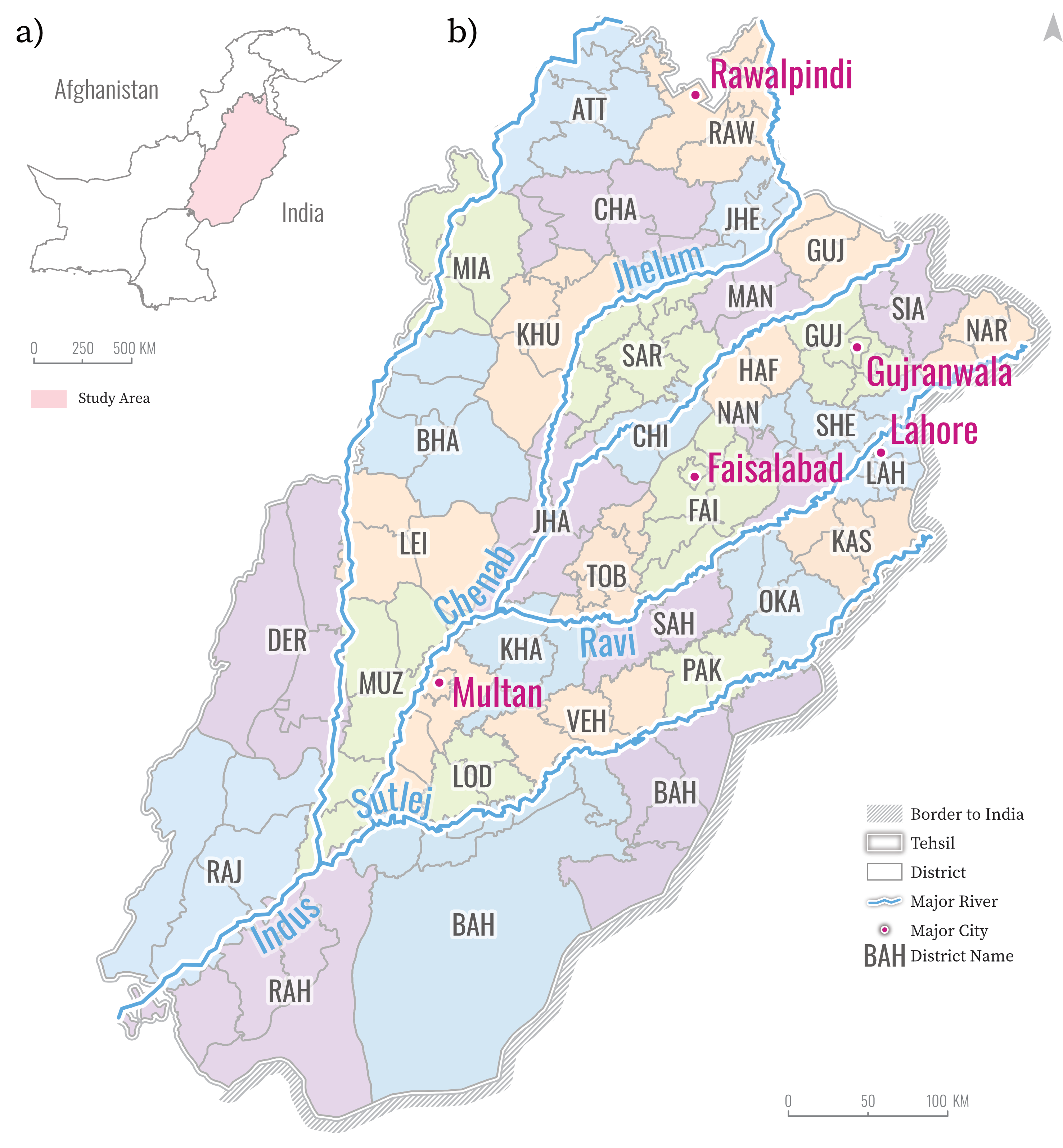
Flood Vulnerability in Punjab, Pakistan: A Geospatial Analysis and Cartographic Approach
The primary objectives of this research are to assess flood vulnerability in Punjab, Pakistan, with a developed Flood Vulnerability Index (I). Furthermore, different cartographic visualization...
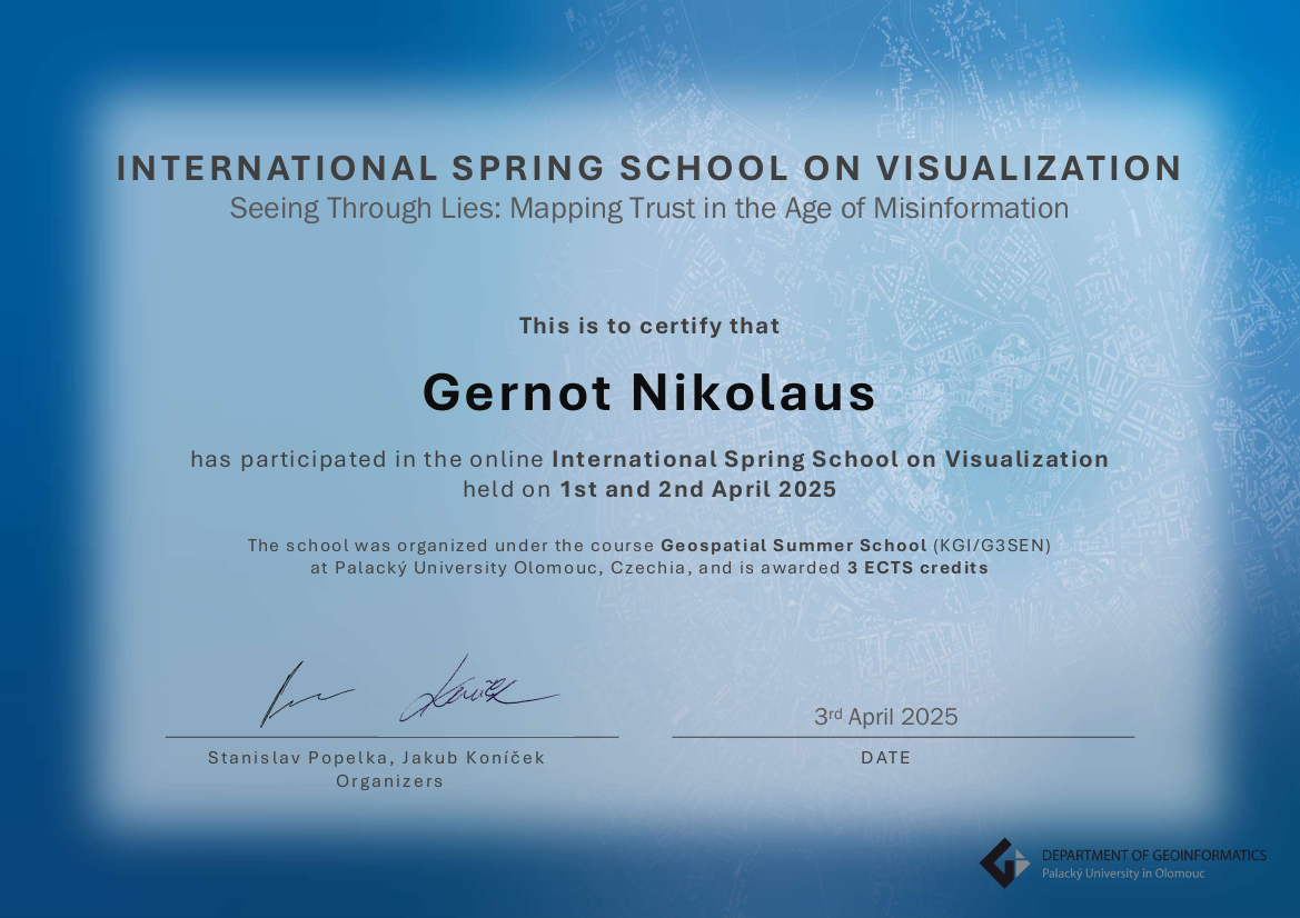
Report on the International Spring School on Visualization: Seeing Through Lies: Mapping Trust in the Age of Misinformation
In April 2025 I had the chance to take part in the International Spring School on Visualization: Seeing Through Lies: Mapping Trust in the Age...
12WeekGeoChallenge
Inspired by the 30DayMapChallenge, friends and I created our own 12WeekGeoChallenge, where we have one week to create a map on a specific topic. I...
Report on the Blended Intensive Program: Healthy Urban Systems (HUS) in Lausanne, Switzerland
From July 1 to 6, 2024, I attended the Blended Intensive Programme (BIP) on Healthy Urban Systems (HUS) at the University of Lausanne (UNIL) in...
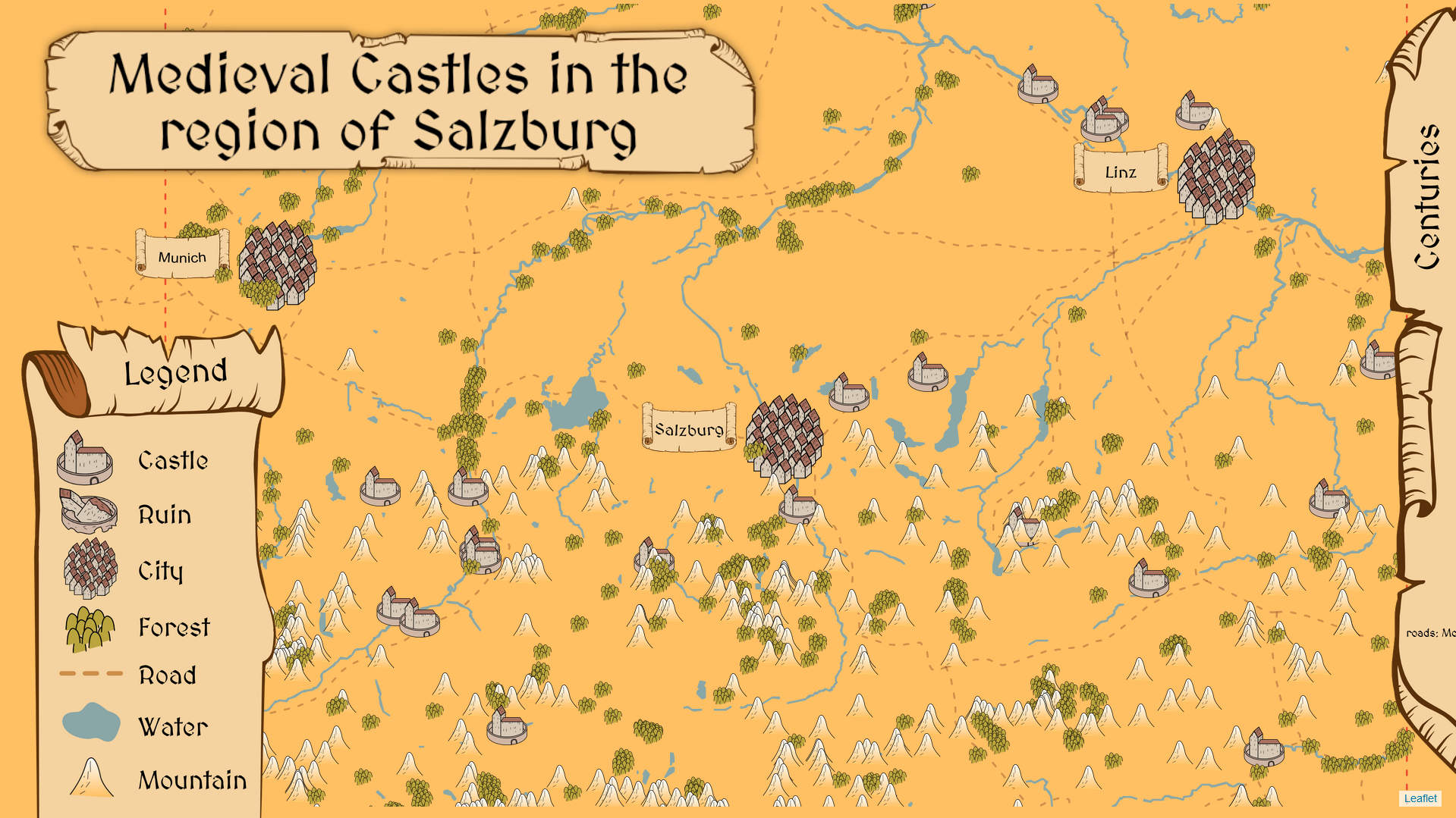
Medieval-Castles in the region of Salzburg
The interactive map of castles in the Salzburg region offers a fascinating insight into the region’s medieval history. While exploring the map, users can switch...
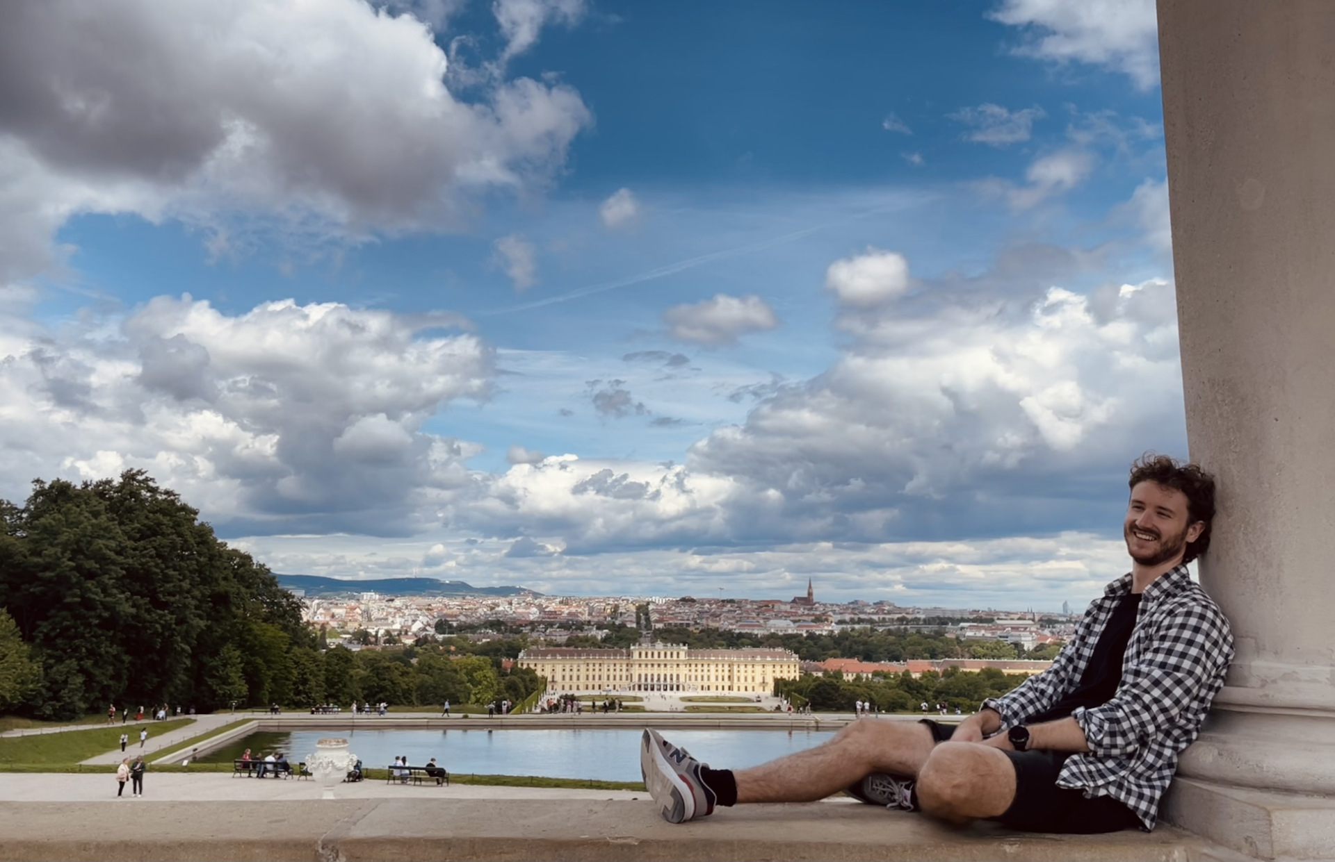
Excursion in Vienna
End of May, I was on an excursion in Vienna, visiting two key institutions as part of the EM CDE Copernicus Hubs and Institutions course:...
BIP in Olomouc
I had the chance to take part in the Blended Intensive Program (BIP) Digital Earth Citizens in Olomouc, at the Palacký University in Olomouc in...
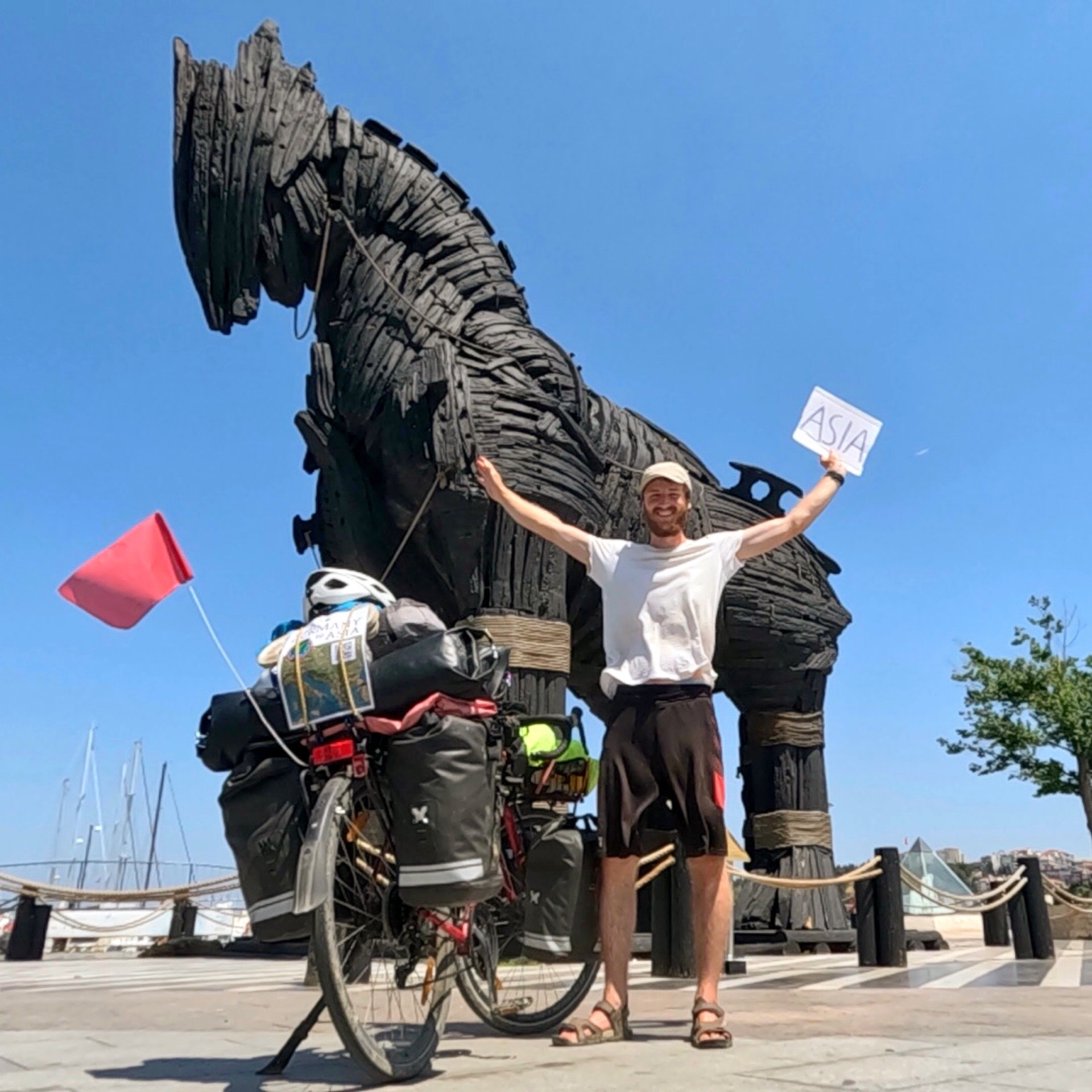
From Germany to the edge of Asia and back
Between my bachelor’s and master’s degrees, over nearly three months, I went on a solo cycling journey from Germany all the way to the edge...
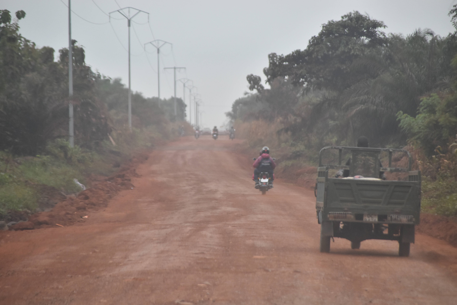
Supporting Disease Mapping and Healthcare Access in Togo
I worked on the first phase of a two-year project to combat three neglected tropical diseases - Leprosy, Buruli ulcer and Yaws - in Togo....