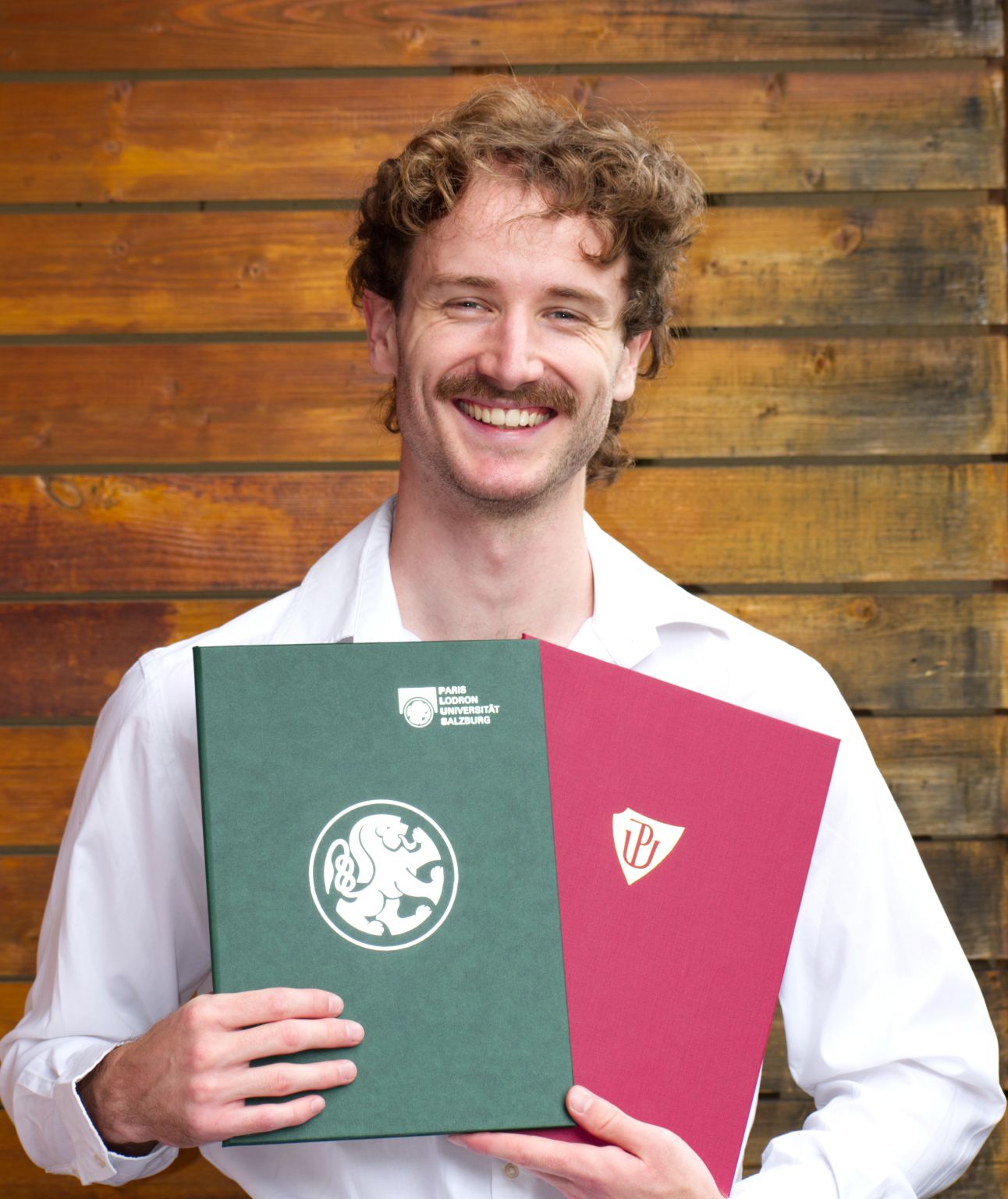
About me
I hold a double master’s degree from the Copernicus Master in Digital Earth program (University of Salzburg & Palacký University Olomouc), focusing on GIS, remote sensing, disaster risk assessment, and climate change. I also earned a Bachelor’s degree in Geovisualization from the Technical University of Applied Sciences Würzburg-Schweinfurt. My interests lie in geospatial data, earth observation, and humanitarian and environmental applications. I have applied GIS technology to health challenges during a project in Togo with the German Leprosy and Tuberculosis Relief Association (DAHW). Currently, I work as a Project Assistant at the United Nations University - Institute for Environment and Human Security (UNU-EHS), supporting climate risk insurance projects.

Experience
-
Project Assistant | September 2024 - Present
United Nations University - Institute for Environment and Human Security (UNU-EHS) -
Residential Fieldworker Volunteer - LIFE Raft Seabird Conservation Project | September 2025 - October 2025
Royal Society for the Protection of Birds (RSPB) -
GIS Consultant | September 2024 - September 2025
United Nations University - Institute for Environment and Human Security (UNU-EHS) -
Disaster Modelling Intern | July - September 2024
United Nations University - Institute for Environment and Human Security (UNU-EHS)
Munich Climate Insurance Initiative -
Co-Founder | July 2024
Gernot Nikolaus & Simon Kraus Creative Studio GbR -
Travel - Career Break | April 2023 - July 2023
Between my bachelor's and master's degrees, I went on a solo cycling trip from Germany to Asia (Türkiye, Asian continent) along the Adriatic Sea and back again. -
Technical GIS support, GIS Trainer and part of supportive supervision in Togo | April 2022 - March 2023
German Leprosy and TB Relief Association (DAHW) -
Student Research Assistant | July 2021 - September 2021
Technical University of Applied Sciences Würzburg-Schweinfurt (THWS)
Alma Mater
-
Palacký University Olomouc | September 2024 - July 2025
M.Sc., double degree, (EMJM) Copernicus Master in Digital Earth - Geovisualisation & Geocommunication
Graduated with Distinction -
Paris Lodron Universität Salzburg | September 2023 - July 2025
M.Sc., double degree, (EMJM) Copernicus Master in Digital Earth - Geoinformatics & Earth Oberservation
Graduated with Honours -
Technical University of Applied Sciences Würzburg-Schweinfurt (THWS) | October 2019 - March 2023
Bachelor of Engineering - BE, Geovisualization
Volunteering
-
Missing Maps | October 2023
Voluntary mapping, participation in mapathons -
German Leprosy and TB Relief Association (DAHW) | April 2022 - March 2023
Technical GIS support to combat three NTDs in Togo
Projects/Publications
- Nikolaus, G., Dabiri, Z., Voženílek, V., & Behre, E. (2025). Flood susceptibility mapping using AHP and sensitivity analysis in Punjab, Pakistan. gis.Science, 2025, 4, 147–152. https://doi.org/10.14627/gis.Science.2025.4.5
- Nikolaus, G., Dabiri, Z., Voženílek, V. and Behre, E., (2025). Assessment of flood susceptibility using AHP and remote sensing-derived products, a case study in Punjab, Pakistan. AGIT Conference, 2025(1), pp.36-42. https://doi.org/10.25598/agit/2025-6
- Flood Vulnerability in Punjab, Pakistan: A Geospatial Analysis and Cartographic Approach (Master's Thesis)
- Geospatial Contexts for Combating Buruli ulcer and Yaws in Togo (Bachelor's Thesis)
2025
2023
Awards
-
Dean's Award, overall winner in the Earth Sciences section | May 2025
Faculty of Science at Palacký University in Olomouc -
“Harbert-Buchpreis“ award for best student of the year | September 2023
DVW e.V. German Association for Geodesy, Geoinformation and Land Management